
I didn’t set out to write this article today. I was researching the prospective properties that Irene Littlehorse, a realtor from Native Way Realty, showed Deputy Dale Cooper in Episode 2.012. After a coin toss that landed on a folder about Dead Dog Farm, an intrigued Cooper asks to see the cursed property. Like Coop, I was also drawn to Dead Dog today, determined to find the actual film location from Season 2.
WHERE IS DEAD DOG FARM LOCATED?
“Of all the people in the world, the best and the worst are drawn to Dead Dog, and most turn away. Only those with the purest of heart can feel its pain. And somewhere in between, the rest of us struggle.” – Irene Littlehorse, Twin Peaks, Episode 2.012
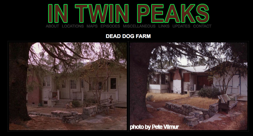
For the longest time, the only reference image I had was posted on the now defunct InTwinPeaks.com website – a side-by-side comparison from the property seen in Episode 2.012 and an image provided by long-time Twin Peaks fan Pete Vilmur. I knew the location was in southern California, but I wasn’t sure of the exact location. I also heard the house was torn down in the late 2000s.
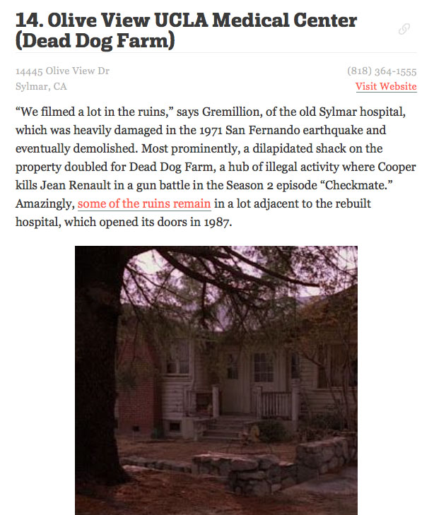
Luckily, LA Curbed published a story on May 15, 2017 that interviewed Barry Gremillion, the Twin Peaks Season 2 location manager, who provided some additional details about this location.
Knowing the abandoned house was once located in Sylmar, California, I turned to Google Earth.
The first place I looked was 14445 Olive View Drive in Sylmar where I found the UCLA Olive View hospital. According to an article by Lex And Neek from 2017, the original hospital that opened in 1970 was destroyed by an earthquake on February, 9, 1971. Eventually, a rebuilt hospital opened in 1987.
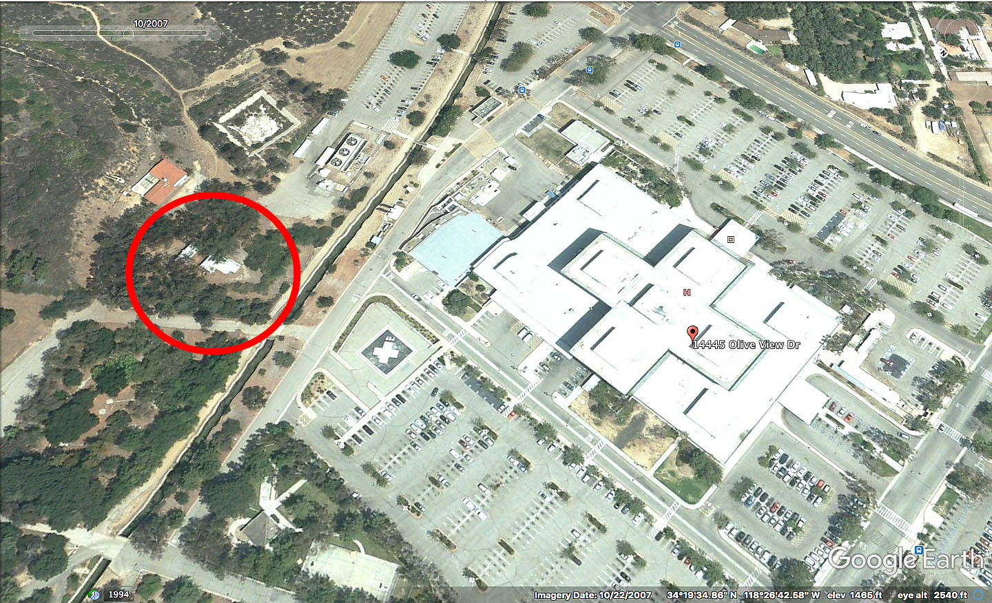
Barry said they used a “dilapidated shack on the property” for the Dead Dog Farm scenes. I looked around the map for buildings that could have possibly served as this location. The red circled area is where I concentrated my search.
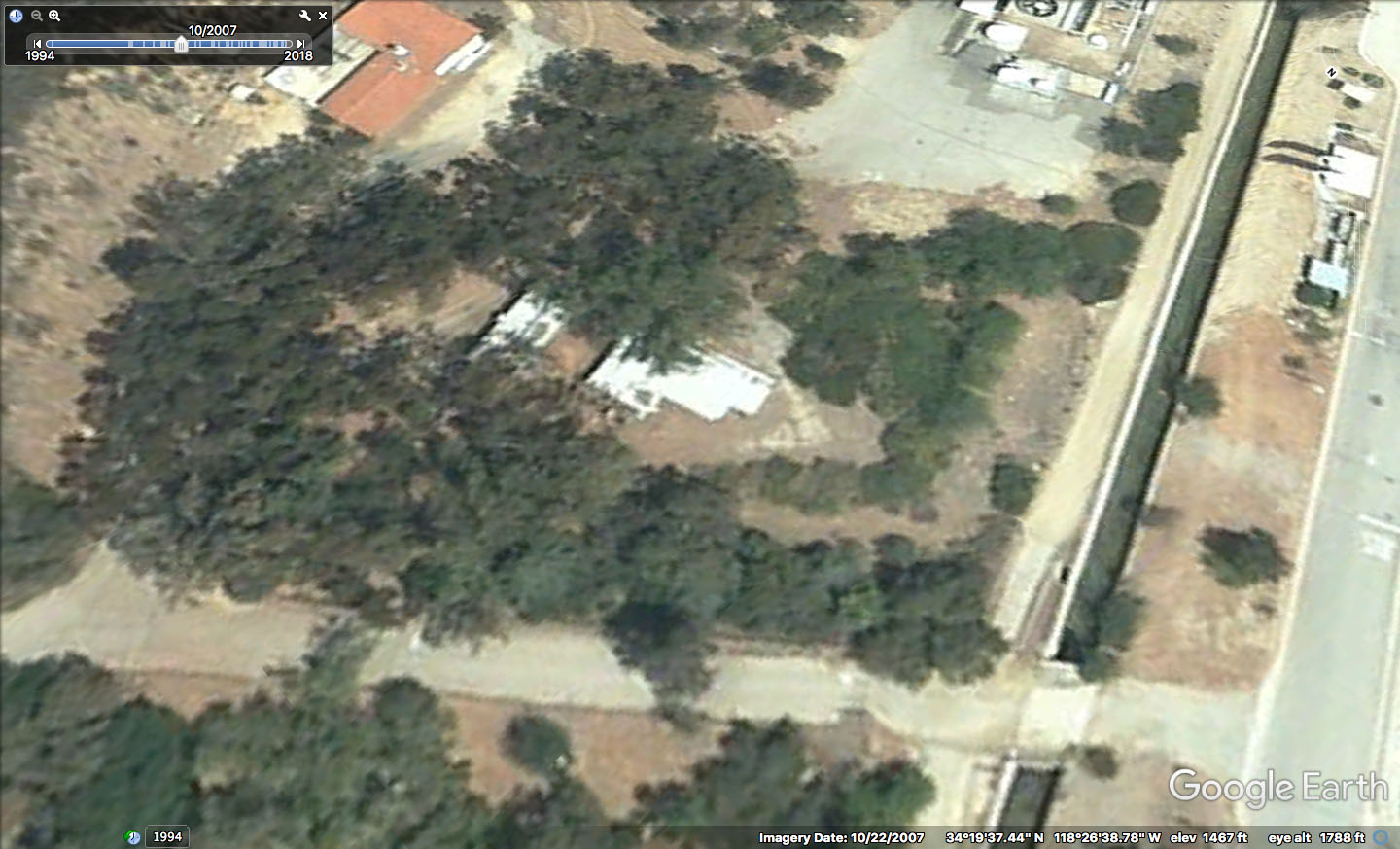
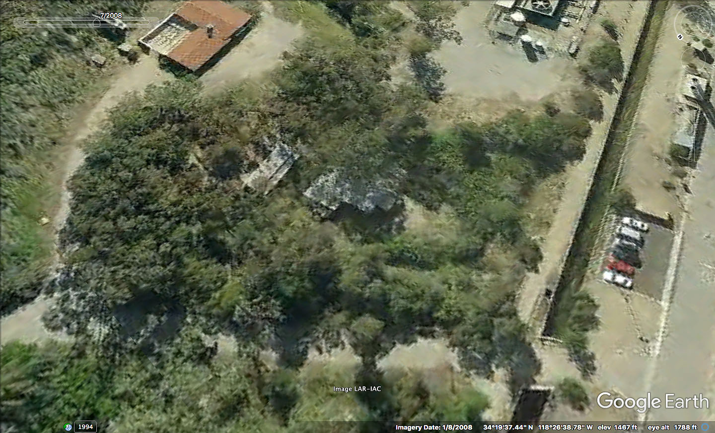
Using Google Earth’s time machine feature, I turned back the hands of time to see details from this area. In 2007 and 2008, it appeared there were two white-colored buildings surrounded by trees located in the area of question.
Brad Dukes, a long-time fan and author of the outstanding book, “Reflections: An Oral History of Twin Peaks,” interviewed Geraldine Keams who played Irene Littlehorse on March 30, 2012.
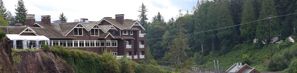
When asked about the Dead Dog Farm location, Geri replied, “Dead Dog farm looked authentic and could have been a farm in Washington State. There were groves of tall pines and the old bungalows that used to be owned by the park service. The skies were partly cloudy as it had just rained a couple of days before. It was one of those bungalows where Agent Cooper and I had a scene inside the cabin.”
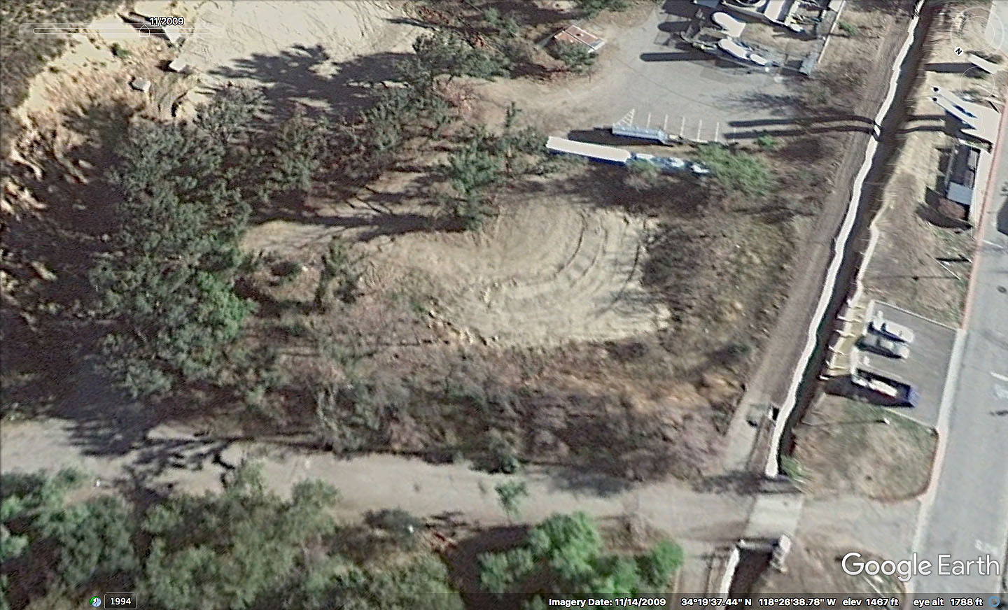
By late 2009, the two houses and many of the surrounding trees were gone. It appears they were removed at some point in early-to-mid-2009. But could this be the spot?
Let’s turn to the episodes for reference.
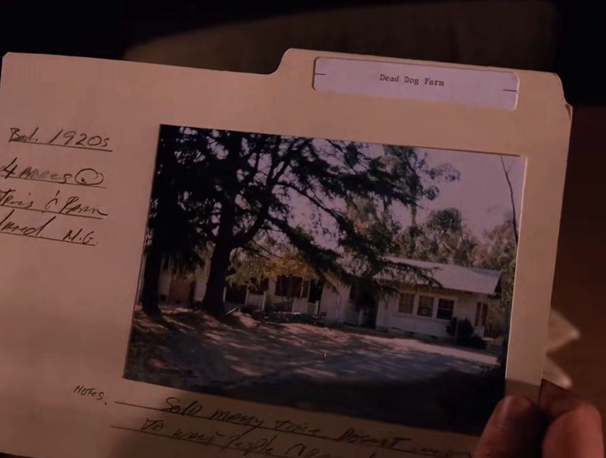
The first appearance of Dead Dog Farm is at the Twin Peaks Sheriff’s Department when Irene Littlehorse shows Cooper several properties.
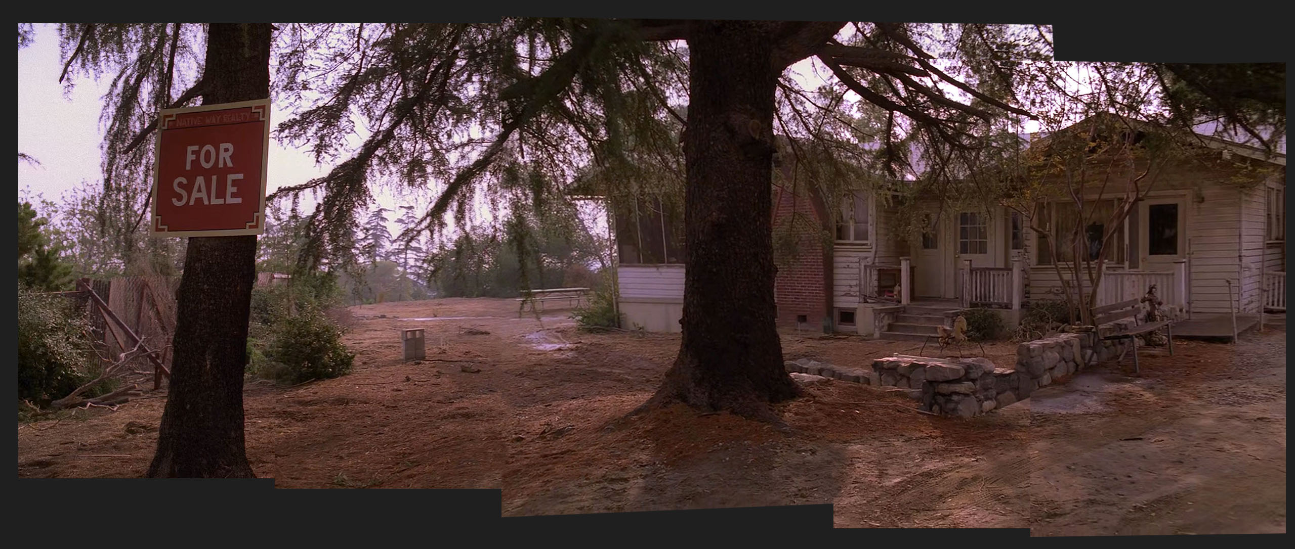
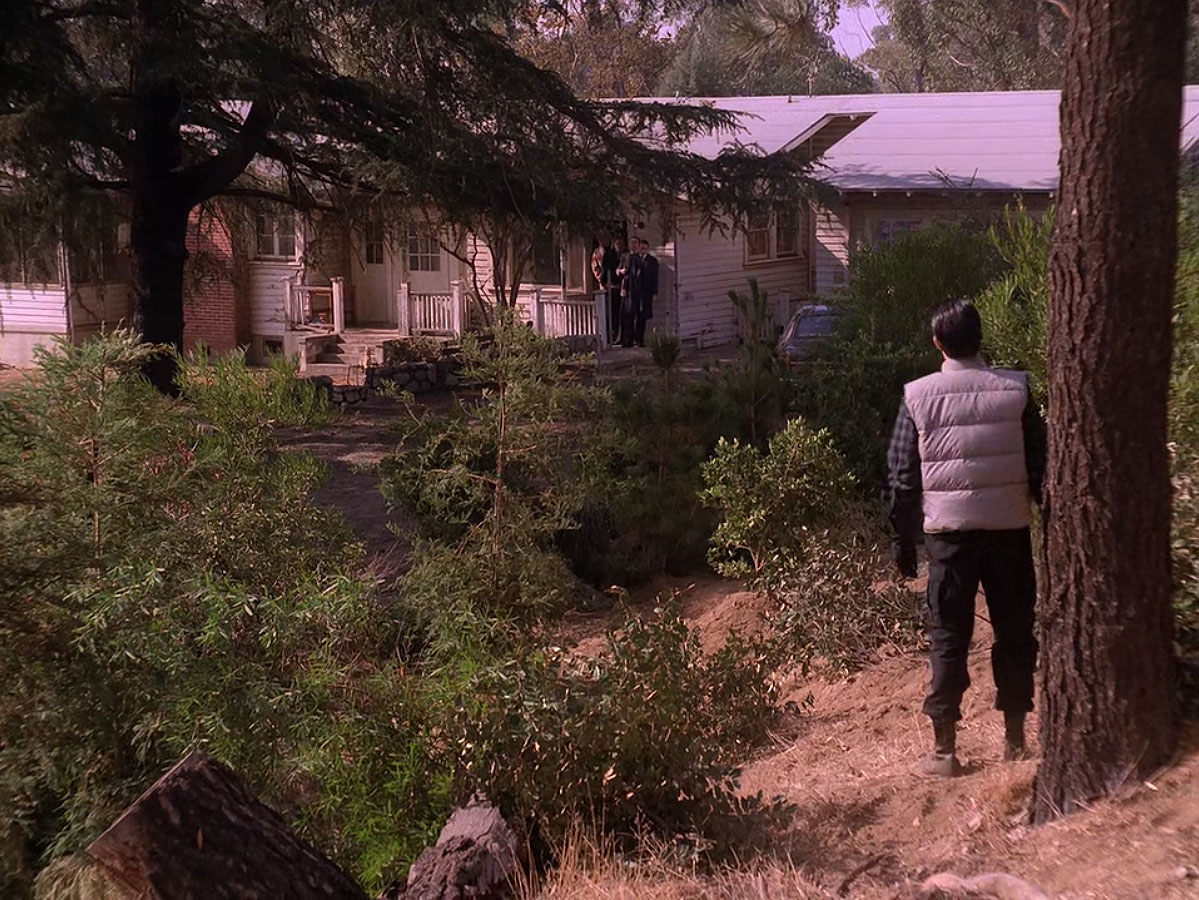
Later in the episode, they visit the actual location. I stitched together the image collage above using the pan shot from the episode (click on it to enlarge).
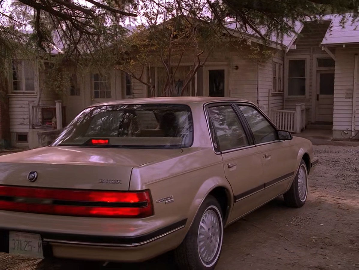

Littlehorse and Cooper arrive in Irene’s 1990 Buick Century with a Washington State license plate – 37L25-M. While exploring the house, Cooper discovers cocaine in the kitchen and notifies the Sheriff.
The exterior scenes gave me a good idea of how the house was situated on the land.
We get a better look at the area in Episode 2.013, including the road which Irene and Cooper used to drive onto the property.
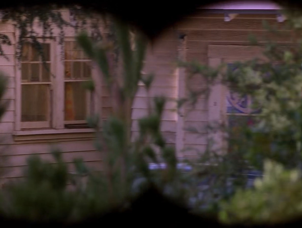
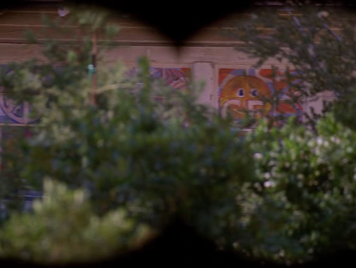
Through Cooper’s binoculars, we get a better look at the side of the house. Groovy, man.
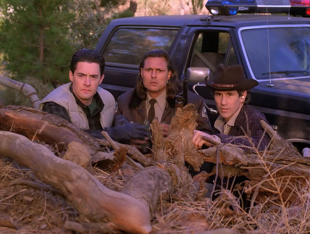
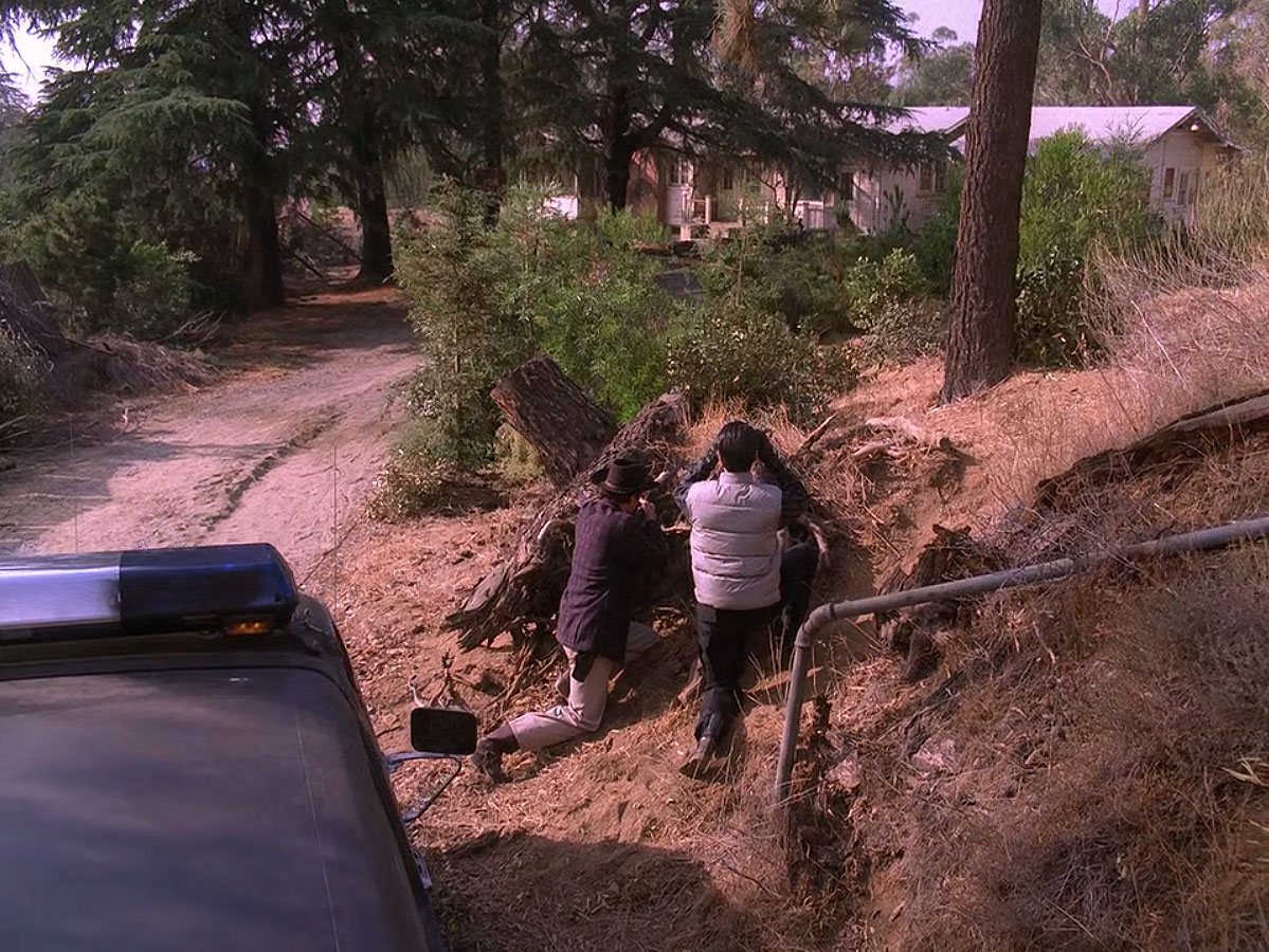
This image doesn’t tell me much about the location … I just really liked this shot of the three lawmen surveying the situation.
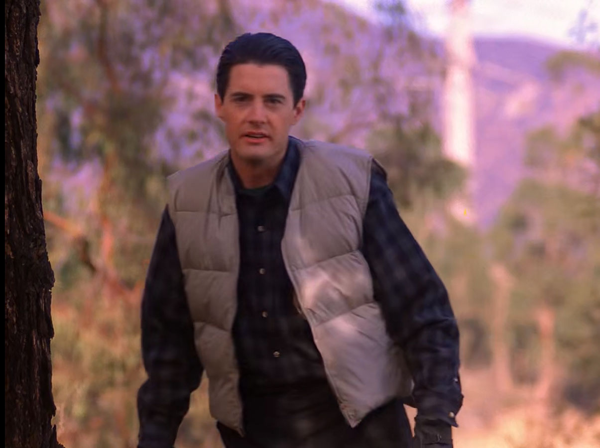
Jean Renault discovers Cooper and team are outside the Dead Dog house. Cooper stands offering to exchange Agent Bryson and Earnie Niles’ lives for his. The hills in the background appear to match the ones seen in the episode.
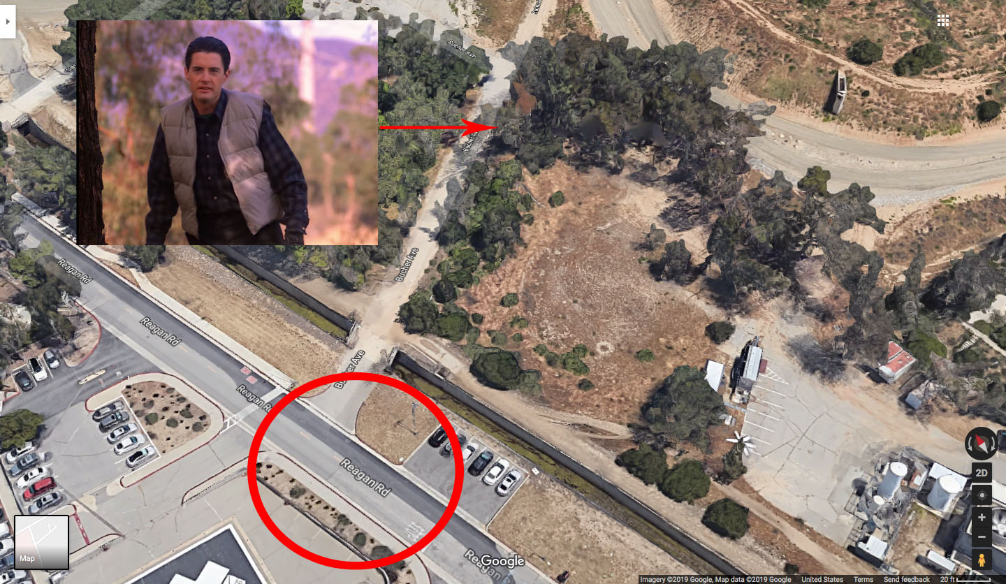
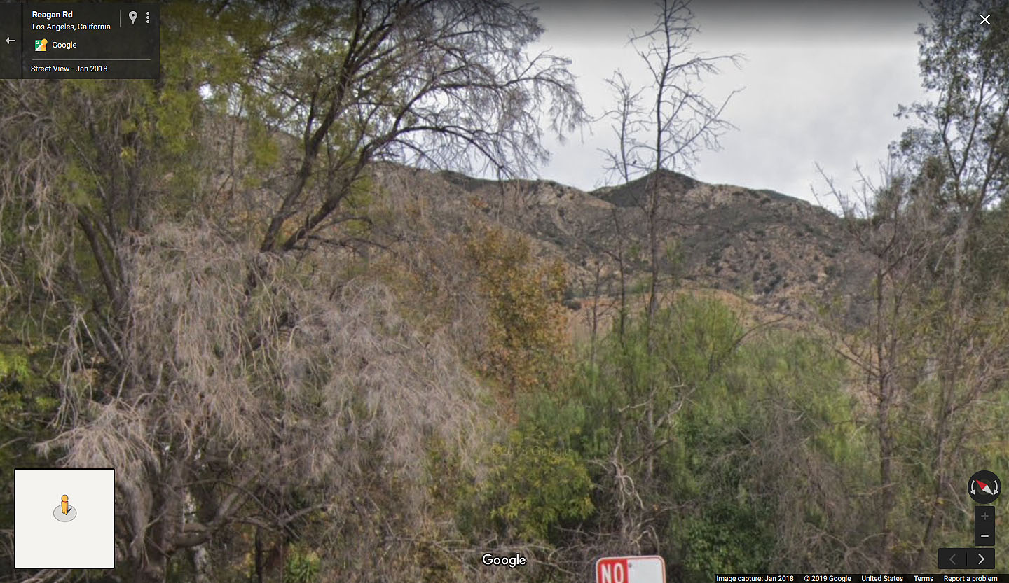
The circled area on Reagan Road is where I captured the image from Google Maps. The red arrow indicates the approximate spot where Cooper may have been standing.
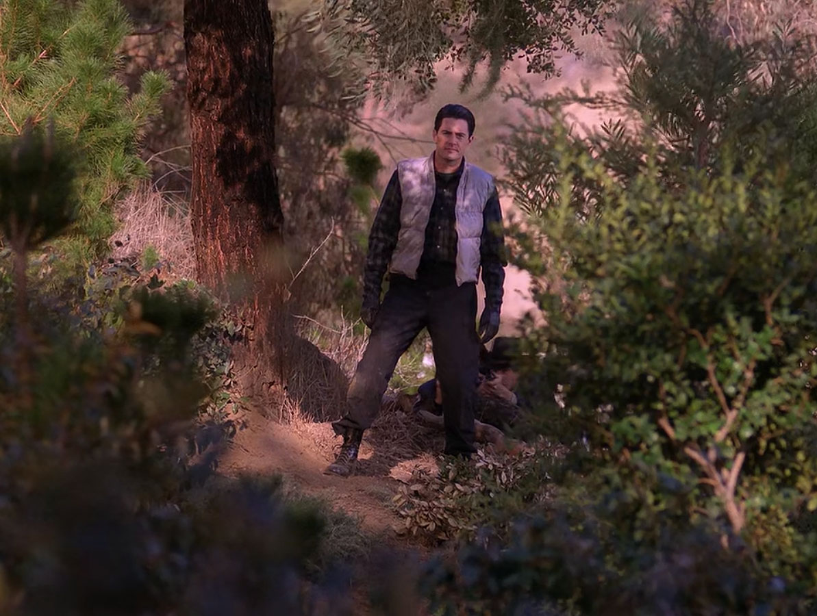
Wider shots from the episode show Cooper surrounded by trees and brush. If you look again at the Google Earth images from 2007 and 2008, it appears the entire area was covered with trees.
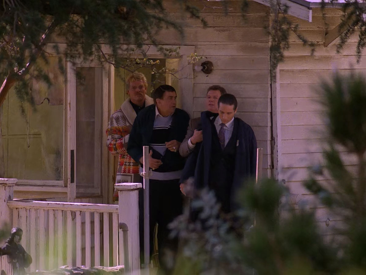
The hostage exchange is made and most of the action at Dead Dog Farm takes place at night inside the home.
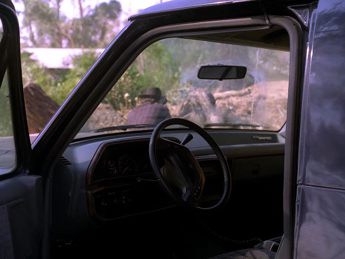
One final shot from the article about the location shows a rare look at the inside of Sheriff Truman’s vehicle. The house and trees are seen in the background which could have covered up the view of the hospital beyond.
While I’ve been unable to locate street views from this location, I am 95% sure this was the spot where the action took place. I was unable to locate any other homes in the area that appeared to match the shape of the white house surrounded by trees. Sadly, I’ll never get to Dead Dog Farm but I’ll be continuously haunted by its pain.
Author
Discover more from TWIN PEAKS BLOG
Subscribe to get the latest posts sent to your email.
Fantastic find! I’m so grateful for this. I was looking for the quote and this site popped up. I’m in the LA area – would you like me to try and get some more pictures in person? =)
@Sarah – Thank you for the kind note! As you can tell, I haven’t visited that spot yet. I heard there isn’t much left in the area but would love to see anything you can find. Coffee is on me next time I’m in LA 🙂
Ha! I’m actually the Pete who snapped that later photo of Dead Dog Farm posted above. I’d actually captured quite a few shots of this location, both inside and out, in 1997/98. I’ve got a few souvenirs from the site as well. It’s unfortunate it was torn down, but it was a pretty derelict structure even in the late ’90s. I remember trying to return a few years later but was headed off by a security officer. I’m guessing the house had become a magnet for fans, and created a liability issue for the property owners. That’s probably why it was torn down.